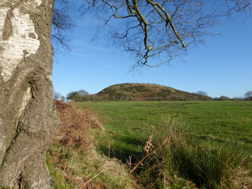
The wooded valley of Cwm Clydach, once the site of several coal mines, is now a nature reserve. This trail explores the valley and surrounding upland pastures, reaching remote Gellionnen Chapel, to explore how these landscapes have been shaped by the underlying geology.
The trail is 9 km (5½ miles); allow half a day.
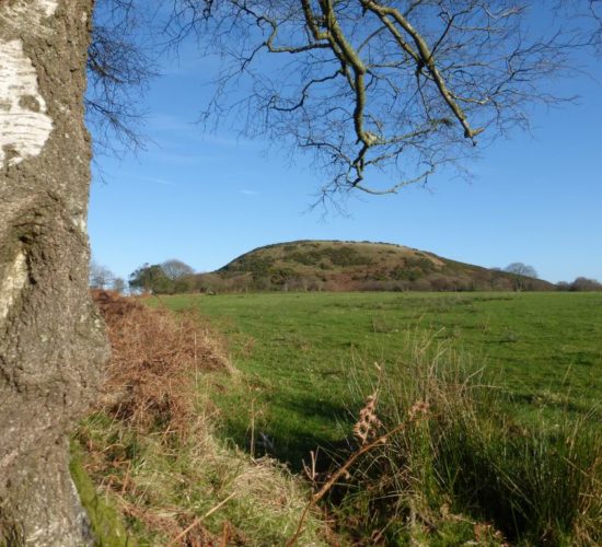
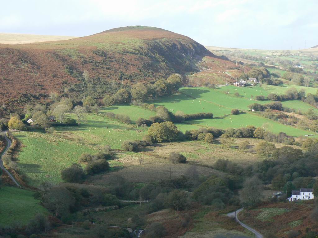
There is a long history of extracting coal from the rocks beneath Swansea. This trail explores Cwm Dulais and Cefn Drum, and discovers how coal was formed millions of years ago, how it has been extracted, and how the coal-bearing rocks influence the landscape.
The trail is about 11 km (7 miles); allow about 4 hours.
An alternative parking area shortens the trail to 7 km (4½ miles).
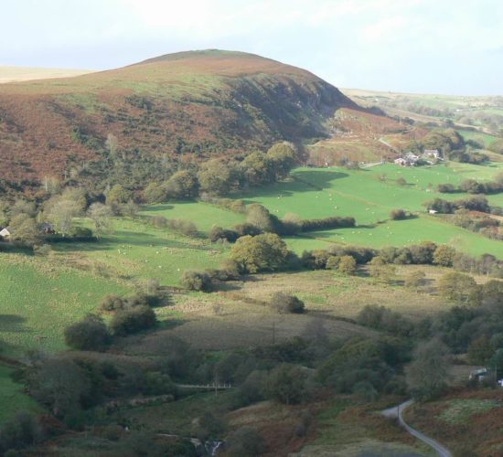
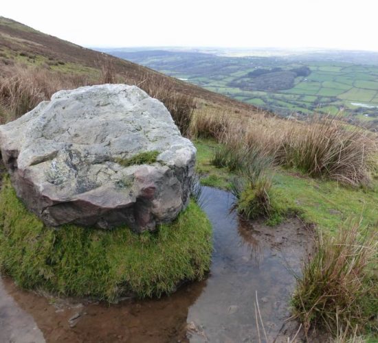
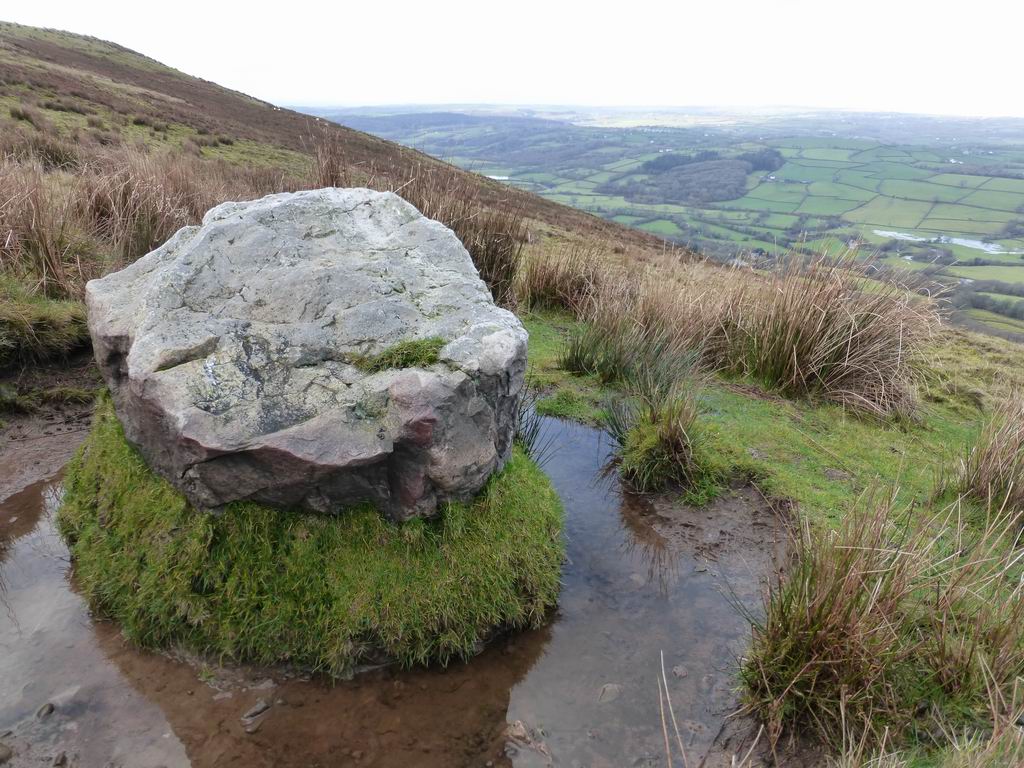
North Swansea is a high moorland plateau formed by tough sandstone. This trail explores the landscape and ecology of this area and discovers the processes that form rocks and shape landscapes. Choose a clear day to make the most of the wonderful views.
The trail is 7 km (4½ miles); allow 3 hours.
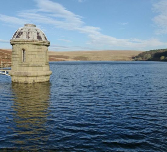
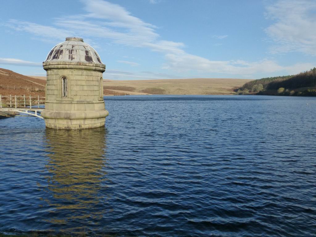
The Lliw Valley reservoirs are in an area of old quarries and coal mines. This easy trail explores the relationship between the landscape and the underlying rocks and discovers how the extraction of resources has changed the landscape.
The trail is 7 km (4½ miles); allow 3 hours.
These walks are written by Dr Geraint Owen and Professor Siwan Davies (Swansea University).
Originally funded by The European Agricultural fund and the Welsh Government but have been digitally adapted by S4.