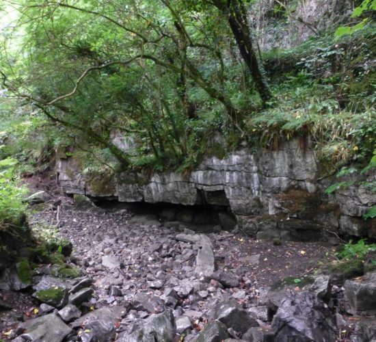
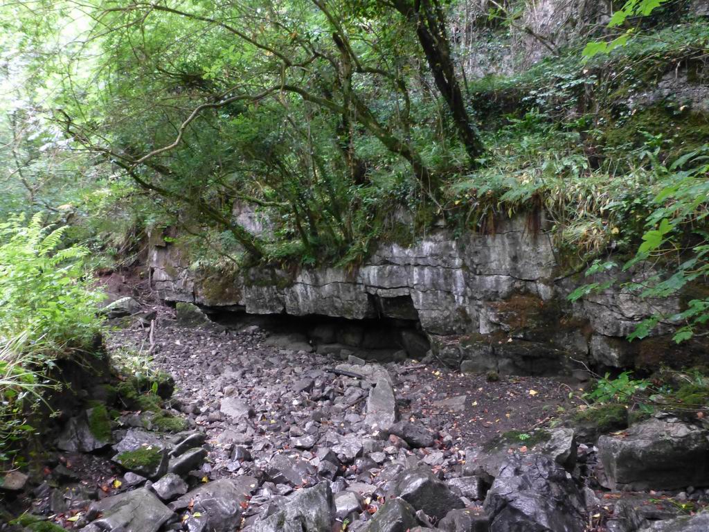
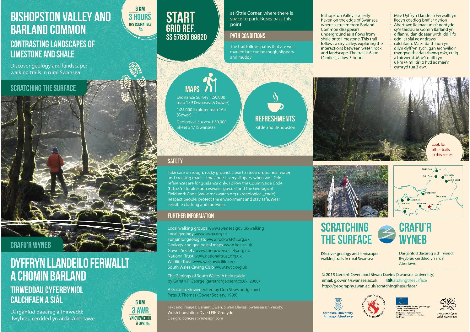
Bishopston Valley is a leafy haven on the edge of Swansea where a stream from Barland Common disappears underground as it flows from shale onto limestone. This trail follows a dry valley, exploring the interactions between water, rock and landscape.
The trail is 6 km (4 miles); allow 3 hours.
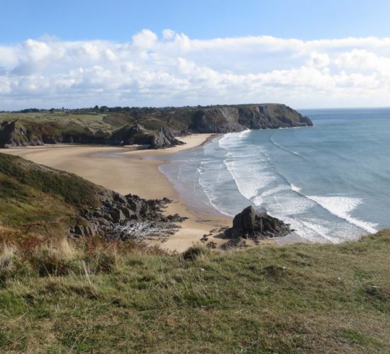
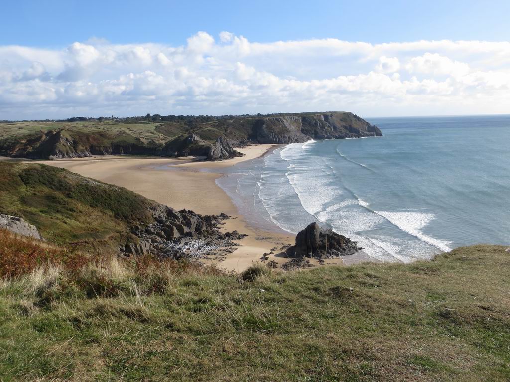
This trail explores one of Gower’s most beautiful bays and returns along wooded valleys to discover how geology shapes the Gower landscape, and how people have made their mark on the landscape over tens of thousands of years.
The trail is 9.5 km (6 miles); allow half a day.
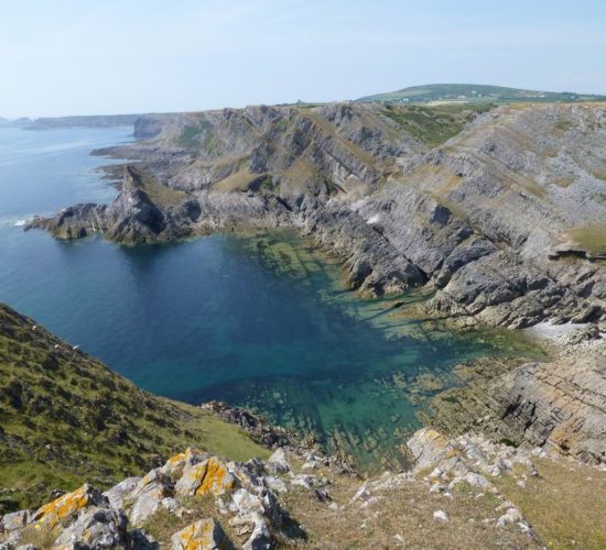
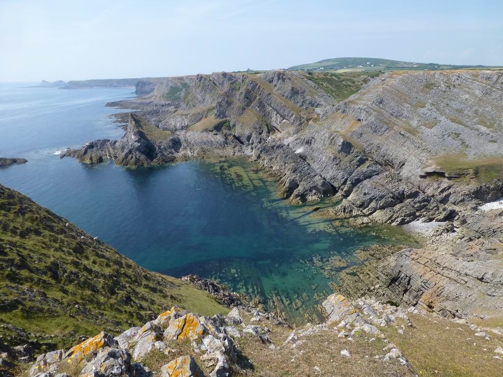
The South Gower coast comprises rugged cliffs of Carboniferous Limestone. This trail explores some of the finest coastal scenery to unravel 350 million years of the Gower’s history.
The trail is 5.5 km (3½ miles); allow 3 hours.
The section between stops 2 and 4 is rough and steep, but can be avoided by going directly from stop 2 to 5, shortening the trail by 0.8 km.
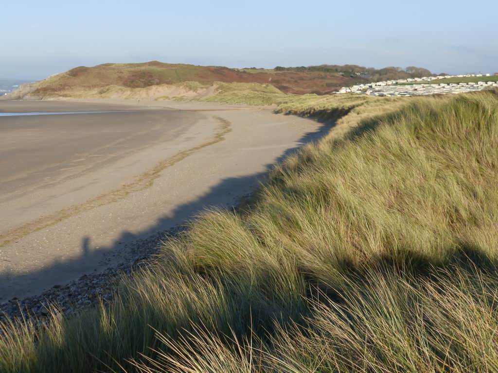
This strenuous trail explores north-west Gower, following the Wales Coast Path before reaching one of the highest points on the Gower peninsula to discover how rocks influence the Gower landscape. There are spectacular views and delightful picnic spots.
The trail is 9.5 km (6 miles); allow half a day.
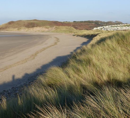
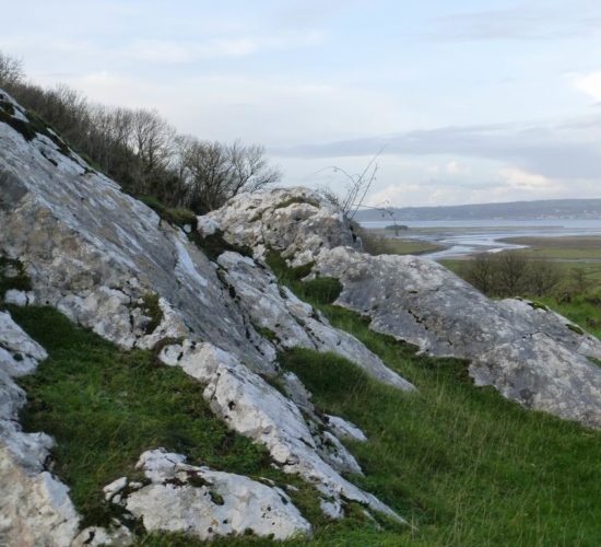
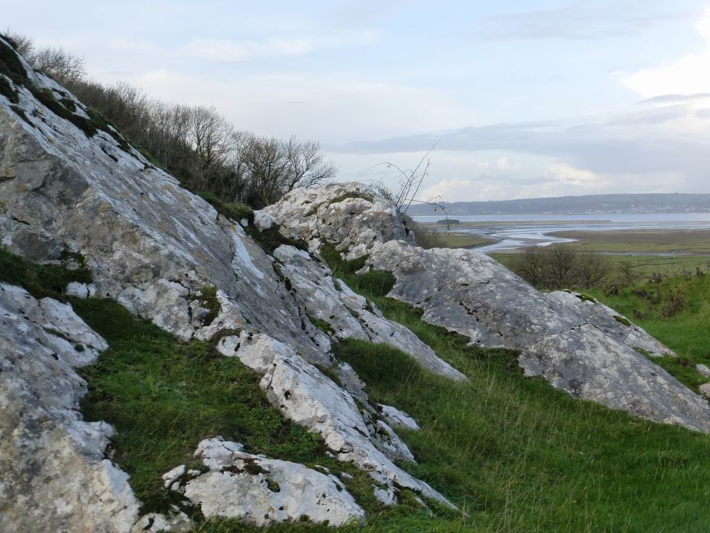
Although the scenery in North Gower is less dramatic than in the south, it is surprisingly varied. This trail explores open moorland, wooded valleys, the scars of old quarries, and wild salt marshes to uncover the geological foundations of this diversity.
The trail is 6 kilometres (4 miles); allow about 3 hours.
A shorter option from stop 4 to 9 is 4.5 kilometres (3 miles).
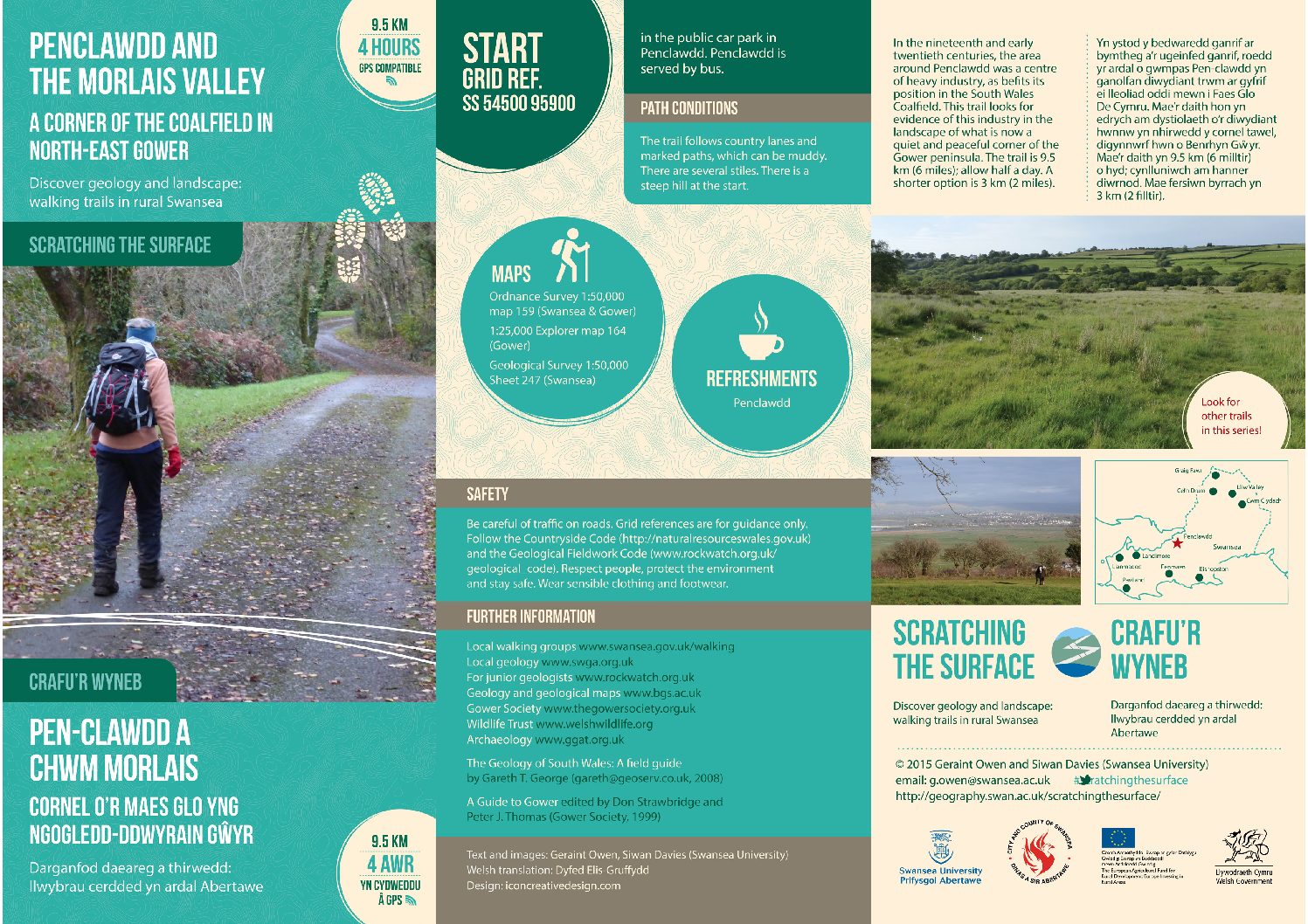
In the nineteenth and early twentieth centuries, the area around Penclawdd was a centre of heavy industry, as befits its position in the South Wales Coalfield. This trail looks for evidence of this industry in the landscape of what is now a quiet and peaceful corner of the Gower peninsula.
The trail is 9.5 km (6 miles); allow half a day.
A shorter option is 3 km (2 miles).
These walks are written by Dr Geraint Owen and Professor Siwan Davies (Swansea University).
Originally funded by The European Agricultural fund and the Welsh Government but have been digitally adapted by S4.